This article is from SRN News
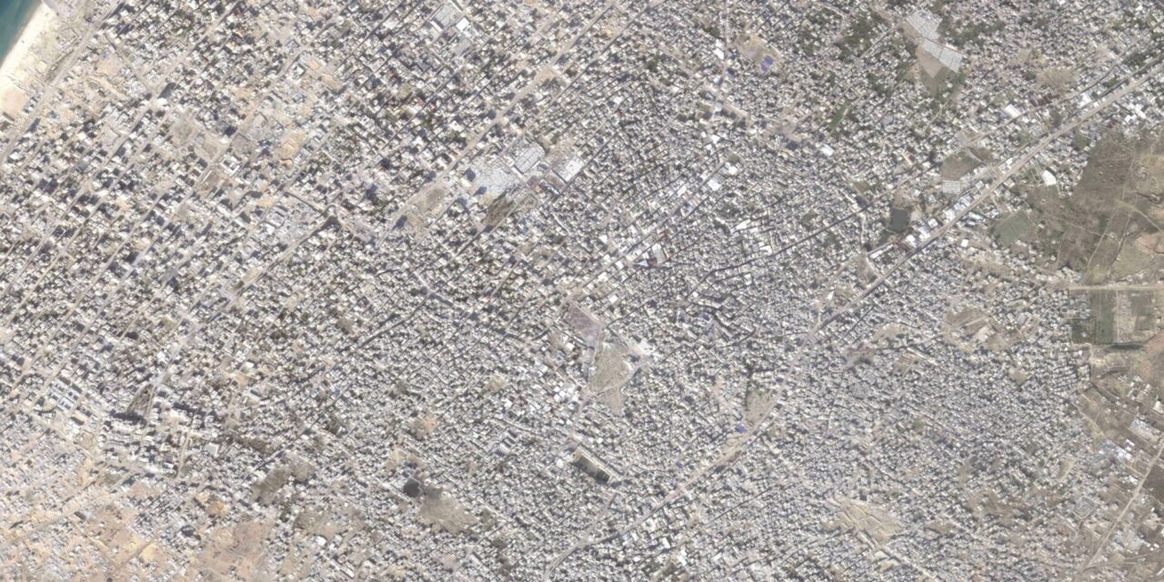
DUBAI, United Arab Emirates (AP) — The Israel-Hamas war, now nearing a potential ceasefire, has devastated the Gaza Strip. Satellite photos offer some sense of the destruction in the territory, which has been largely sealed off to journalists and others.
Some of the images have illustrated a likely buffer zone, wanted by Israel despite international objections, which would take some 60 square kilometers (23 square miles) out of the enclave. In all, the strip of land along the Mediterranean Sea is about 360 square kilometers (139 square miles), and Palestinians hope it will be part of a future state, along with the West Bank and east Jerusalem.
Other images tell the story of how Palestinians’ lives have changed during the war. Gaza City, the dense major city in the strip, has been decimated, with buildings destroyed and roads filled with rubble.
As the war progressed, Israel ordered people to move farther south. Today, the result of that movement can be seen in images of Muwasi, just north of the strip’s southern border with Egypt. There, the sandy coast and surrounding farmland have been overtaken by thousands of tents, all visible from space.
The images have also helped relief agencies and experts make estimates regarding the extent of the damage.
Corey Scher of City University of New York and Jamon Van Den Hoek of Oregon State University have been studying Gaza since the start of the war on Oct. 7, 2023, after Hamas entered Israel, killing 1,200 people and taking 250 others hostage. Their latest assessment, published Thursday, estimates 59.8% of all buildings in Gaza likely have been damaged in the war.
That’s slightly lower than a September analysis from the United Nations Satellite Center. It estimated 66% of all structures in Gaza have been damaged in the fighting, which has killed over 46,000 people, according to local health authorities.
___
Follow AP’s war coverage at https://apnews.com/hub/israel-hamas-war
Brought to you by www.srnnews.com


